Home
Presentations About Civil War Visual Media
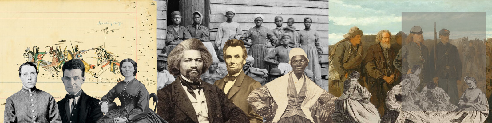
Photography
Public Sculpture
Prints
Cartoons
Illustrated Press
Presentations About Selected Topic
Emancipation
Paintings by Winslow Homer
Visual Landscape of the Civil War
Native Legacies in the Civil War
Emancipation and Photography
Presenter Bios